zlvas
Digital Zoning: Urban analytics platform guiding users to successfully navigate the complexities of NYC zoning.
Gallery
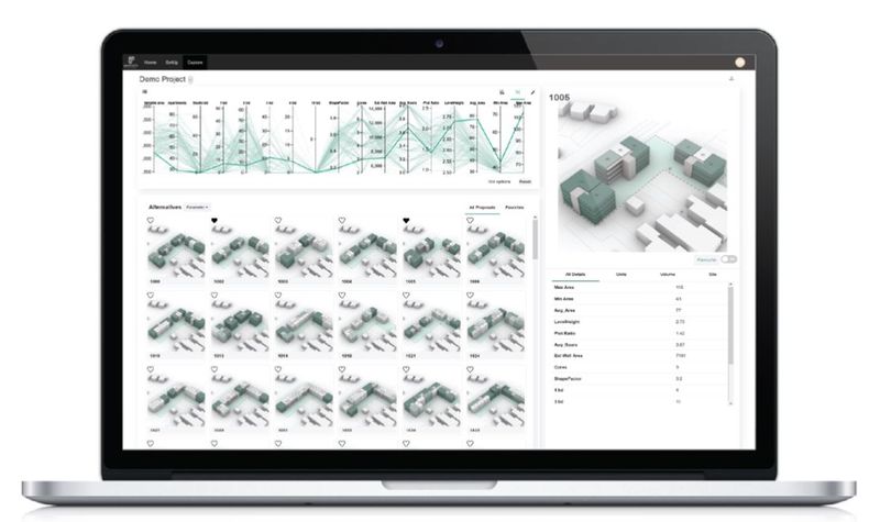
Explore interface previews and real-world examples showcasing how “zlvas” is used in AEC workflows.
Key Facts
View key facts for "zlvas".
Decode site limitations and zoning envelopes for informed decision-making and strategic planning. Simplify complex zoning regulations, identify land use, and optimize your site for success.
Explore Options:
Uncover massing options and evaluate a range of scenarios with ease. Understand the full spectrum of possibilities to maximize your project's potential.
Export 3D Models:
Simplify your operations by seamlessly exporting reports and models. Facilitate workflows and boost productivity with effortless data transfer.
Mission Statement
Zoneless Cities:
Empowering Public Understanding of Zoning
- The concept of "zoneless cities" emphasizes the importance of public understanding of zoning.
- While zoning plays a pivotal role in shaping urban development, its impact diminishes when the general public lacks comprehension.
- zlvas aims to bridge this gap by simplifying zoning complexities and making it accessible to everyone.
- Our goal is to empower individuals with zoning knowledge, revitalizing its purpose.
- Seeking to encourage informed decision-making, community engagement, and collaborative efforts.
No
Rhino 3D Revit AutoCAD
Windows Mac Linux Cloud, SaaS, Web
Company Info
Case Studies (0)
View featured case studies using "zlvas".
AEC Companies / Customers (0)
Discover companies and professionals that are utilizing "zlvas".
Similar Tools
Discover similar tools to "zlvas".
SIMO
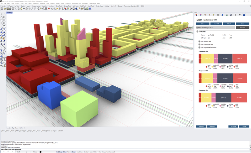
Created by www.spatiomatics.com, SIMO enables teams to created integrated urban development projects. It is a set of easy-to-use plugins for Rhino and Grasshopper, with an external data dashboard. We create urban information models unlike anyone else.



Geopogo Cities
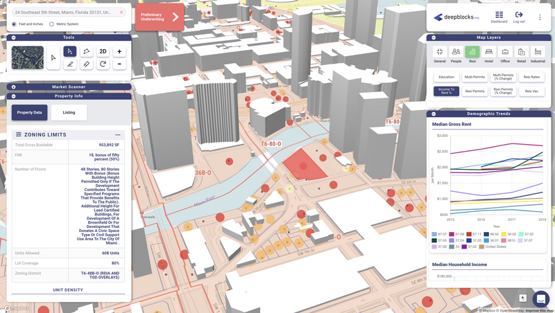
Geopogo Cities, powered by Unreal Engine 5 and the new Google maps API, gives designers a powerful new tool showcase designs in full city context. Featuring over 20+ cities around the world, import your projects and get started today

The Brief
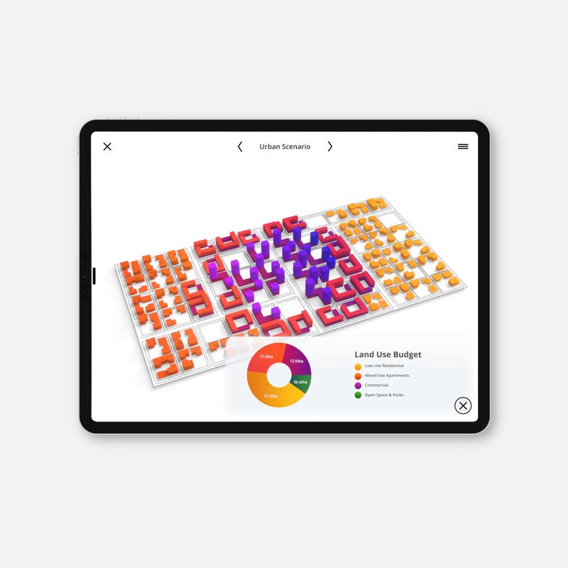
Urban design app created for planners, architects and developers exclusively for iPad. The Brief is an app built specifically for the early stages of urban design.

Related Articles
Discover the latest articles, insights, and trends related to “zlvas” in architecture, engineering, and construction.
Recent Events
Watch webinars, case studies, and presentations featuring “zlvas” and its impact on the AEC industry.

