
Aireal
A location-based augmented reality platform that allows a new or existing property to viewed, customized, and walked through at scale from anywhere in the world
Gallery
Explore interface previews and real-world examples showcasing how “Aireal” is used in AEC workflows.
Key Facts
View key facts for "Aireal".
No
Case Studies (0)
View featured case studies using "Aireal".
AEC Companies / Customers (0)
Discover companies and professionals that are utilizing "Aireal".
Similar Tools
Discover similar tools to "Aireal".
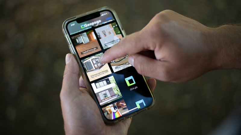
Geopogo
Present to clients on site with virtual AR full size design mock ups and architectural scaled models

Geopogo Cities
Geopogo Cities, powered by Unreal Engine 5 and the new Google maps API, gives designers a powerful new tool showcase designs in full city context. Featuring over 20+ cities around the world, import your projects and get started today

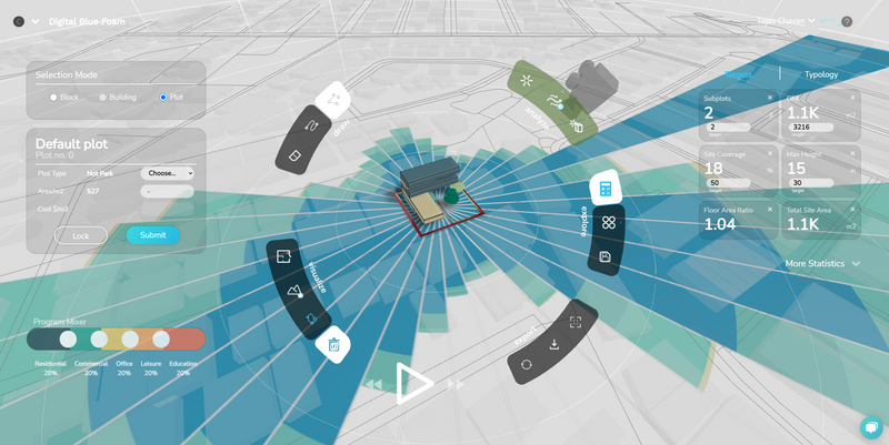
Digital Blue Foam
Online platform that gives you 3D map data, generative design & sustainability analytics

UrbanForm
Online resource for zoning regulations that calculates what can be built on a piece of land

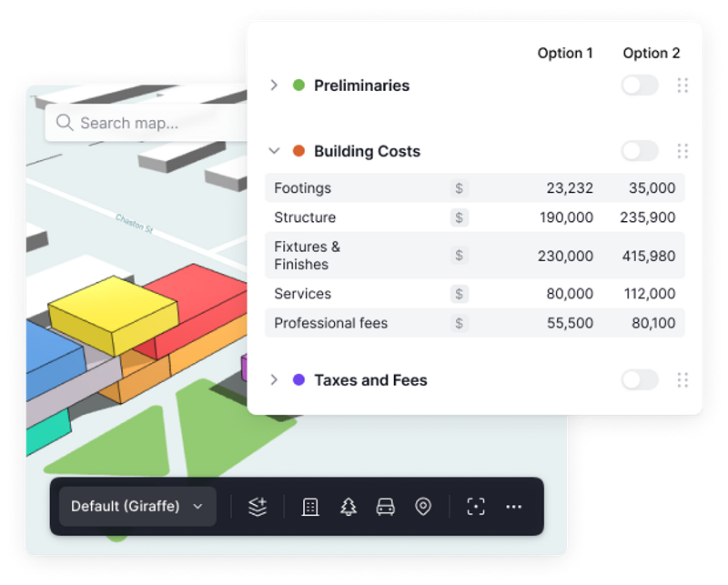
Giraffe Technology
As you design and create, Giraffe works along side you calculating areas and ratios, laying out car parking, analyzing solar and managing data.

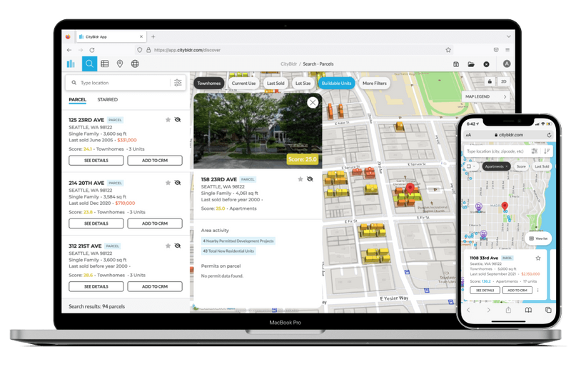
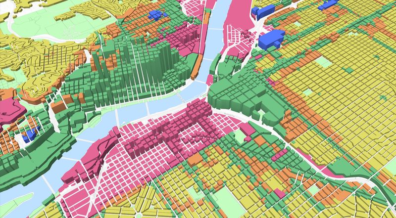
Citybldr
Software for determining the highest and best use of any property in the US in under a minute

Related Articles
Discover the latest articles, insights, and trends related to “Aireal” in architecture, engineering, and construction.
Recent Events
Watch webinars, case studies, and presentations featuring “Aireal” and its impact on the AEC industry.