Gallery
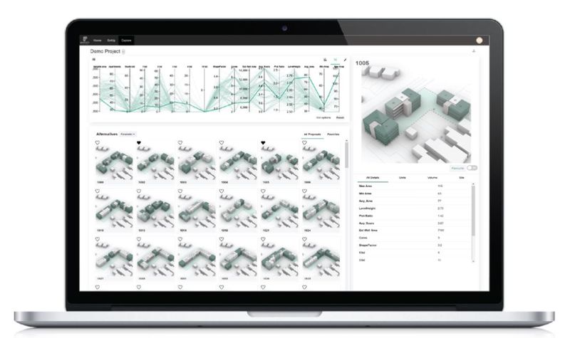
Explore interface previews and real-world examples showcasing how “inCitu” is used in AEC workflows.
Key Facts
View key facts for "inCitu".
No
Company Info
This page has been created by the aec+tech community. To edit this page
Case Studies (0)
View featured case studies using "inCitu".
AEC Companies / Customers (0)
Discover companies and professionals that are utilizing "inCitu".
Similar Tools
Discover similar tools to "inCitu".
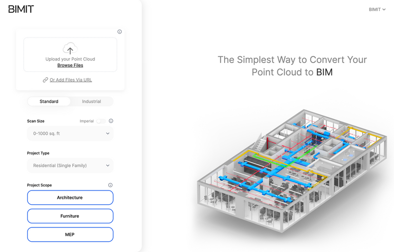
BIMIT
Scan-to-BIM made simple. The easiest way to convert your registered point cloud to BIM.

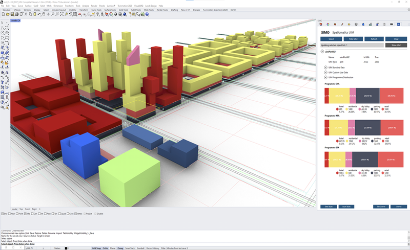
SIMO
Created by www.spatiomatics.com, SIMO enables teams to created integrated urban development projects. It is a set of easy-to-use plugins for Rhino and Grasshopper, with an external data dashboard. We create urban information models unlike anyone else.

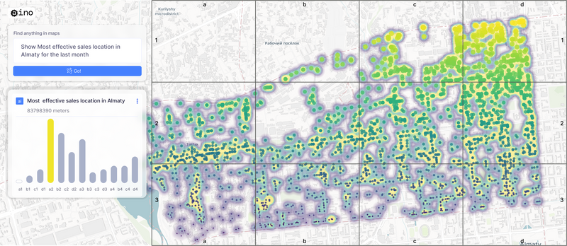
Aino.World
AI for spatial data analysis that transforms data questions into interactive maps, charts, and graphs.

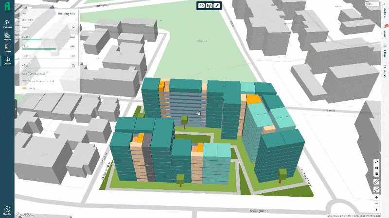
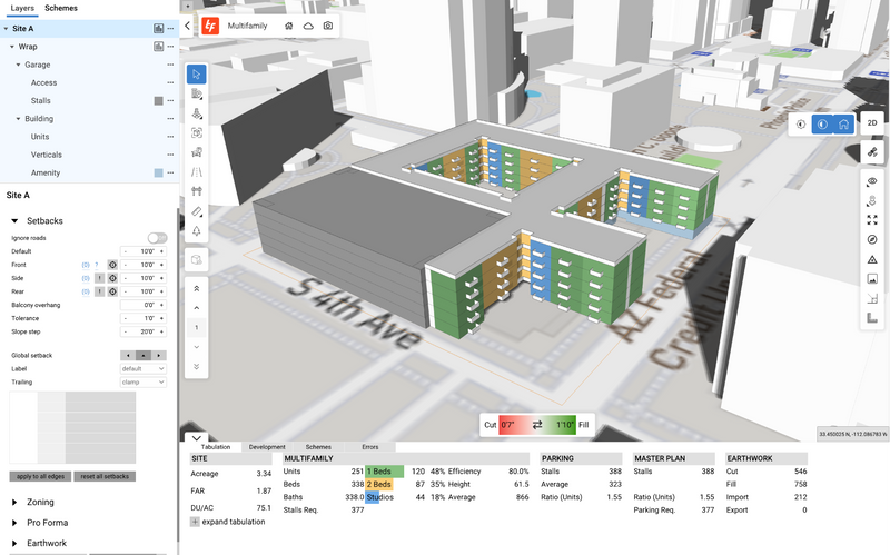
TestFit
TestFit's real estate feasibility platform makes it easy to do site planning. Our real-time AI configurators allow for rapid iterations to get deals done quickly.

Related Articles
Discover the latest articles, insights, and trends related to “inCitu” in architecture, engineering, and construction.
Recent Events
Watch webinars, case studies, and presentations featuring “inCitu” and its impact on the AEC industry.


