
Esri
Esri builds the leading mapping and spatial analytics software for desktop, software as a service (SaaS), and enterprise applications.
Gallery
Explore interface previews and real-world examples showcasing how “Esri” is used in AEC workflows.
Key Facts
View key facts for "Esri".
No
Company Info
Case Studies (0)
View featured case studies using "Esri".
AEC Companies / Customers (0)
Discover companies and professionals that are utilizing "Esri".
Similar Tools
Discover similar tools to "Esri".
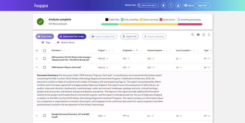
hoppa
Hoppa is an AI-powered information management tool designed to help built environment professionals streamline collaboration by bridging workflow gaps, translating data, and improving efficiency across teams and systems.

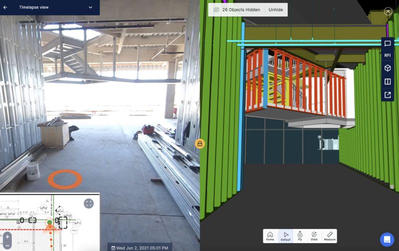
DroneDeploy
DroneDeploy automates reality capture using drones, robots and 360 cameras, and combines all data in one platform for AI-powered analysis

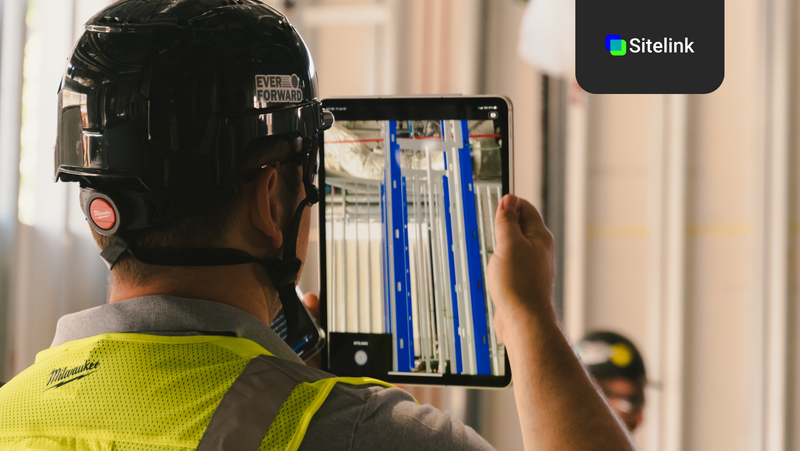
Sitelink
Sitelink is a 3D collaboration platform for construction teams, powered by Augmented Reality & AI


Spacio
Spacio helps to sketch, design and optimise buildings using an intuitive and easy to use web tool built for architects and engineers.


Related Articles
Discover the latest articles, insights, and trends related to “Esri” in architecture, engineering, and construction.
Recent Events
Watch webinars, case studies, and presentations featuring “Esri” and its impact on the AEC industry.

