Gallery
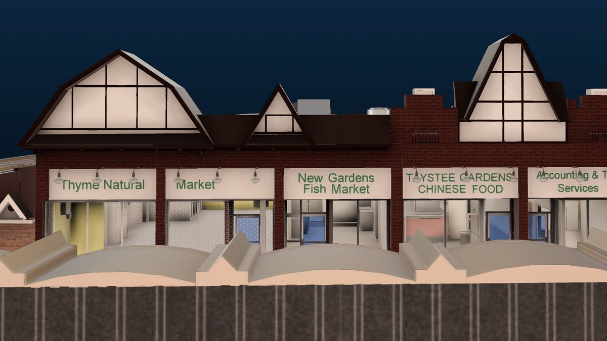
Explore interface previews and real-world examples showcasing how “Scan2Plan” is used in AEC workflows.
Key Facts
View key facts for "Scan2Plan".
-Experienced team of in-house team of experienced field techs, drafters (AutoCAD and Revit) and licensed engineers
-We take the time to scope each project to suit your priorities
-We use the finest precision tools to capture a point cloud with extreme accuracy
-Drafted to Scan2Plan’s rigorous design standards - your design phase begins upon delivery
-We take a process-driven approach with extensive quality control and team review
-Exceptional support from real professionals
-Scan2Plan has national reach through our authorized service partners
-We work on a wide range of projects from residential to large-scale commercial and industrial
Schedule a discovery call today!
https://www.scan2plan.io/discovery
No
Company Info
Case Studies (1)
View featured case studies using "Scan2Plan".
AEC Companies / Customers (0)
Discover companies and professionals that are utilizing "Scan2Plan".
Similar Tools
Discover similar tools to "Scan2Plan".
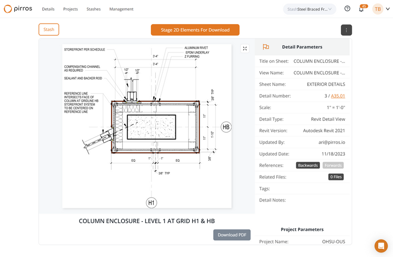
Integrated Projects (IPX)
IPX is a scan-to-BIM platform that helps design and construction teams visualize and measure spaces, down to the millimeter, by combining 3D scanning, 3D modeling and machine learning. IPX produces Revit, CAD, RCS, IFC, and virtual tours within a secure digital hub, where users can visualize, quantify, share and search spatial, area, and element data. Get an instant quote, turnaround time, and place orders online in seconds for 3D scanning and point cloud to BIM conversion.

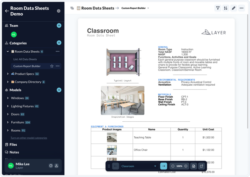
Layer App
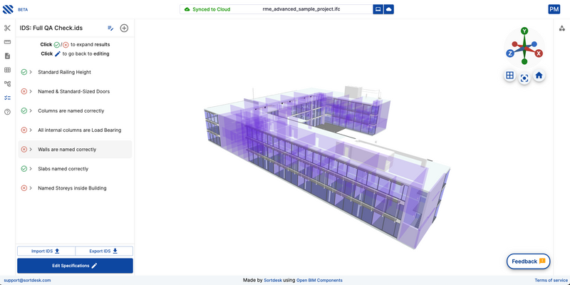
Layer is a no-code workflow platform that helps you do more with less! Collect & Capture data such as photos and files from anywhere on any device (offline included). Connect & Blend spatial data such as Revit parameters with anything you need to keep your work on track. Create & Collaborate with features such as Layer's document generator, shared views, customizable forms, and more!

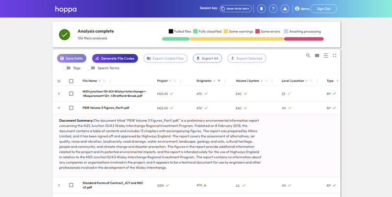
hoppa
Hoppa is an AI-powered information management tool designed to help built environment professionals streamline collaboration by bridging workflow gaps, translating data, and improving efficiency across teams and systems.

/slantis
We team up with busy AEC companies to develop their BIM projects with cutting-edge tech, so they succeed!

Related Articles
Discover the latest articles, insights, and trends related to “Scan2Plan” in architecture, engineering, and construction.
Recent Events
Watch webinars, case studies, and presentations featuring “Scan2Plan” and its impact on the AEC industry.
