QGIS AI Vectorizer
The AI Vectorizer is a QGIS plugin that acts as an autocomplete for map digitization. The plugin runs our proprietary AI model which allows GIS users to trace features more quickly than doing it all by hand.
Gallery
Explore interface previews and real-world examples showcasing how “QGIS AI Vectorizer” is used in AEC workflows.
Key Facts
View key facts for "QGIS AI Vectorizer".
For context, our customers have had success with CAD renderings, hand-drawn engineering diagrams, geologic maps, topographical contour lines, and utility maps.
More than 30 days
Mac Windows
Company Info
Case Studies (0)
View featured case studies using "QGIS AI Vectorizer".
AEC Companies / Customers (0)
Discover companies and professionals that are utilizing "QGIS AI Vectorizer".
Similar Tools
Discover similar tools to "QGIS AI Vectorizer".
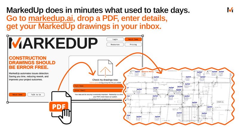
MarkedUp
Grammarly for construction drawings. We automate boring issue detection for Architect and GC in your 2D PDFs.

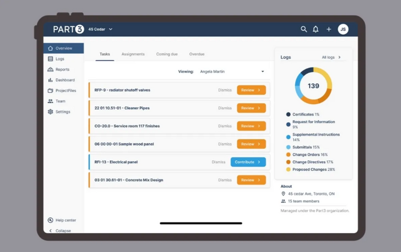
Part3
AI-powered software for architects that automates construction administration. From submittals and field reports to drawing management and a Procore integration, it reduces admin time, lowers risk, protects profits, and keeps projects moving forward.

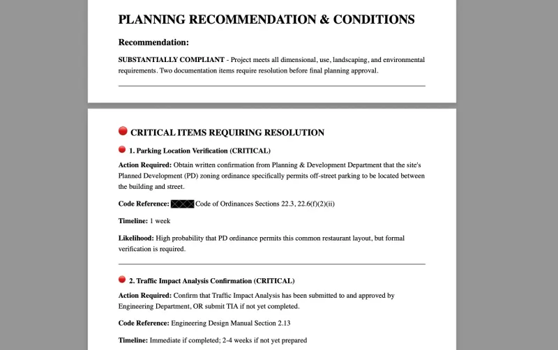
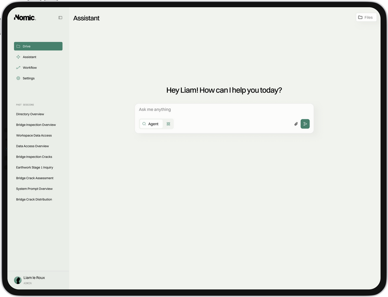
Nomic AI
Nomic's platform enables firms to deploy AI agents that automate tasks like code compliance, QA/QC reviews, and submittal reviews.

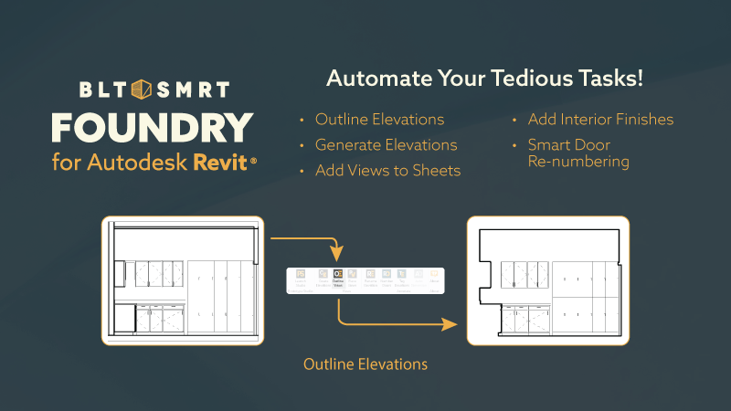
Foundry
Foundry is a suite of tools designed to enhance and simplify your design and documentation process.

Related Articles
Discover the latest articles, insights, and trends related to “QGIS AI Vectorizer” in architecture, engineering, and construction.
Recent Events
Watch webinars, case studies, and presentations featuring “QGIS AI Vectorizer” and its impact on the AEC industry.

