
DroneDeploy
DroneDeploy automates reality capture using drones, robots and 360 cameras, and combines all data in one platform for AI-powered analysis
Gallery
Explore interface previews and real-world examples showcasing how “DroneDeploy” is used in AEC workflows.
Key Facts
View key facts for "DroneDeploy".
Sync drawings from Procore, Autodesk, Egnyte, Drive or Dropbox in minutes.
02- Plan
Instantly connect to your compatible 360 cameras via hotspot.
03- Capture
Mark your starting point and walk the site. The 360 camera takes two photos per second.
04- Upload
When complete, hit upload. Photos are automatically mapped to drawings.
More than 30 days
Company Info
Case Studies (0)
View featured case studies using "DroneDeploy".
AEC Companies / Customers (0)
Discover companies and professionals that are utilizing "DroneDeploy".
Similar Tools
Discover similar tools to "DroneDeploy".
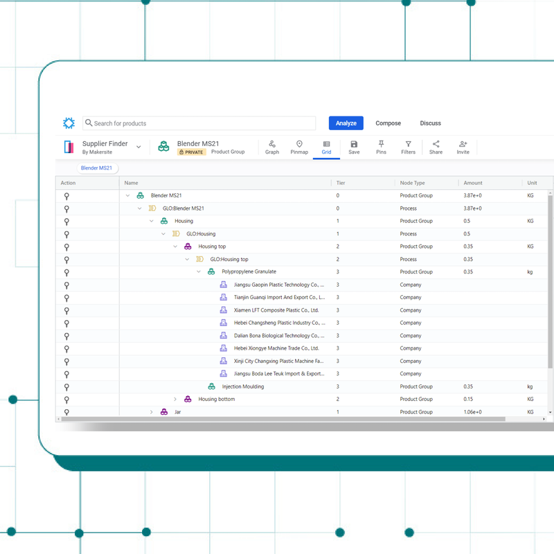
Makersite
Makersite is an award-winning platform for product sustainability, cost, and compliance. Using AI and graph tech, it builds digital twins to optimize product lifecycles, reduce emissions, and increase agility—helping teams create better, greener products up to 50x faster than traditional methods.

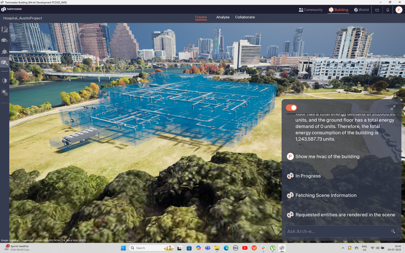
TwinMaster
TwinMaster is the first AI Copilot-powered Digital Twin platform for architects—think ChatGPT for building design, in 3D—that cuts planning time in half (50% less), reduces rework by 30%, and targets a $130B market primed for disruption, leveraging its first-mover advantage.

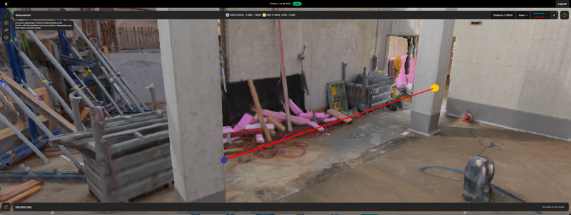
Sensori
Sensori is a reality capture technology company that uses photogrammetry and machine learning to auto-generate accurate and measurable 3D models for AEC projects.

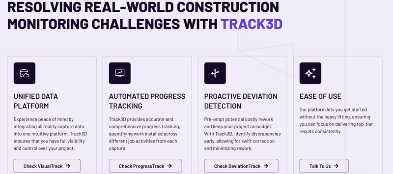
Track3D
Stay in Control of Your Project’s Future. Automate Progress Tracking and Detect Issues Before They Escalate
struct.digital
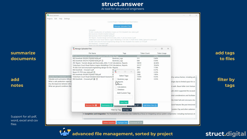
struct.digital builds custom AI and automation solutions as well as products for structural engineering and AEC design firms. From AI-powered document analysis to workflow automation and API integrations, we tailor technology to streamline design processes, reduce manual work, and enhance efficiency.

Treble Technologies
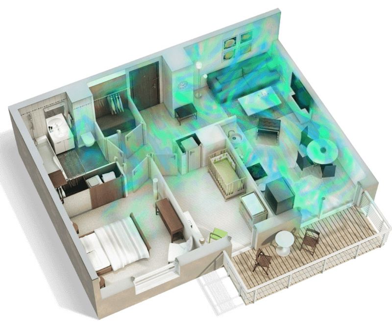
Acoustic Simulation Platform Offering 1- Treble Web Application: cloud-native acoustic simulation platform that delivers sound analysis for design optimization 2- Treble SDK: enables high-fidelity, scalable acoustic simulations for audio development and virtual prototyping.

Related Articles
Discover the latest articles, insights, and trends related to “DroneDeploy” in architecture, engineering, and construction.
Recent Events
Watch webinars, case studies, and presentations featuring “DroneDeploy” and its impact on the AEC industry.