
Civils.ai
An AI co-pilot for construction projects. Sync your project documents with civils.ai to instantly find information, answer questions and extract data from construction reports.
Gallery
Explore interface previews and real-world examples showcasing how “Civils.ai” is used in AEC workflows.
Key Facts
View key facts for "Civils.ai".
Ask questions about your project and instantly pull out information.
Extract data from entire PDF geotech reports automatically.
--Extract geological description, thicknesses, water level, ground level, test data, coordinates straight from PDFs.
--Download extracted data as AGS & Excel.
--Access BGS boreholes as AGS and Excel.
Build initial 3D site models. Go from raw data to editable 3D models in seconds.
--Generate virtual boreholes and explore the subsurface of your site.
--Measure bedrock level and identify geotechnical issues.
-- Start understanding project risk.
Create sections of your site. Draw your cut line on the map.
--Create beautifully presented 2D sections.
--Edit and control the data being presented.
--Download as a PDF and DXF.
More than 30 days
Linux
Company Info
Case Studies (0)
View featured case studies using "Civils.ai".
AEC Companies / Customers (0)
Discover companies and professionals that are utilizing "Civils.ai".
Similar Tools
Discover similar tools to "Civils.ai".
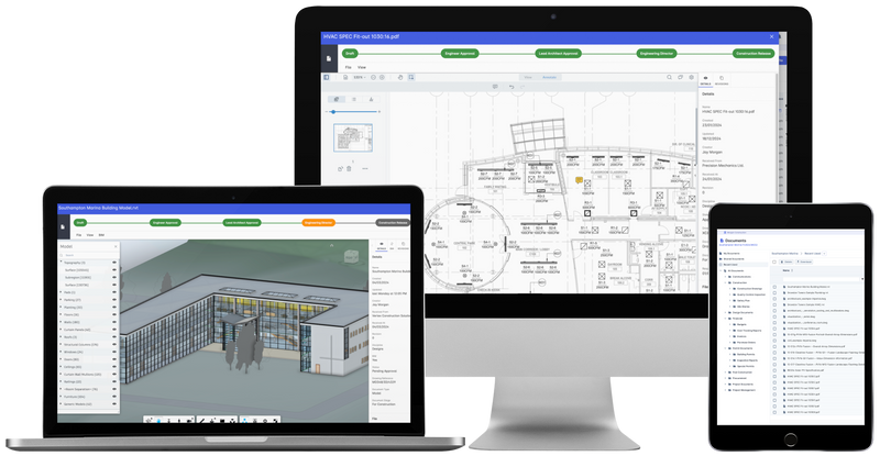
Archdesk
The all-in-one construction project management platform From Bidding to Handover. Estimate, schedule, manage documents, procurement, and more in one place.

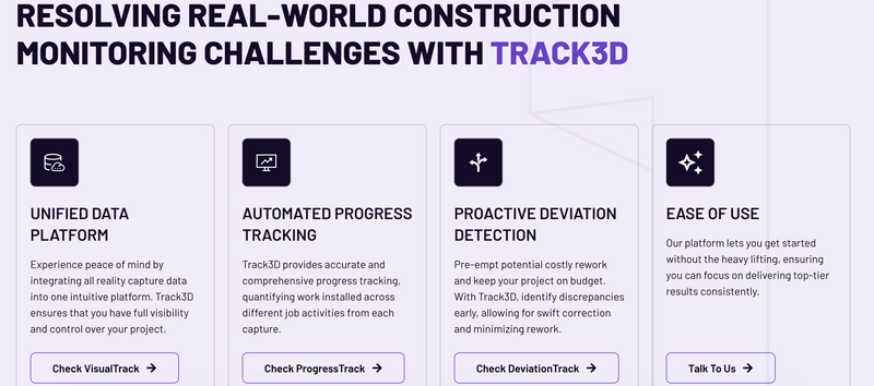
Track3D
Stay in Control of Your Project’s Future. Automate Progress Tracking and Detect Issues Before They Escalate

Contineu
AI for Construction QA/QC - Automatically detect & track every defect across trades on your site.

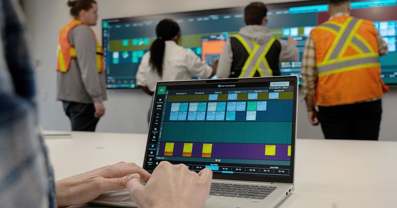
Nialli Inc.
Nialli is a cloud-based visual planning and collaboration platform that helps construction teams digitally transform pull planning and task coordination for better schedule visibility and team alignment.

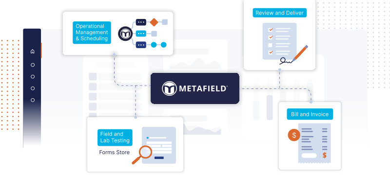
MetaField
MetaField is a cloud-based platform for end-to-end management of workflows in construction materials testing (CMT), geotechnical engineering, and inspections—streamlining field data collection, reporting, and project oversight to boost efficiency and accuracy.

Related Articles
Discover the latest articles, insights, and trends related to “Civils.ai” in architecture, engineering, and construction.
Recent Events
Watch webinars, case studies, and presentations featuring “Civils.ai” and its impact on the AEC industry.

